
Cyclogram technique for geological mapping of borehole data
DOI:
https://doi.org/10.34194/raekke3.v41.6946Abstract
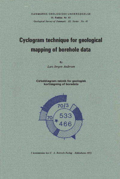
This paper describes the principles of a new method for three-dimensional mapping of geological basic data from boreholes and wells. This method is developed by the Geological Survey of Denmark and uses cyclograms for graphical illustration of borehole records in stead of bar diagrams.
The procedure and the technical tools for construction of the cyclogram and the map are described. Advantages and disadvantages of the method compared with other mapping methods are discussed.
For illustration of the method a map of about 350 sq.km with more than 500 well-record-cyclograms is enclosed.
Downloads
Published
Issue
Section
License
This article is distributed under a CC-BY 4.0 licence, permitting free redistribution and reproduction for any purpose, even commercial, provided proper citation of the original work. Author(s) retain copyright over the article contents.
