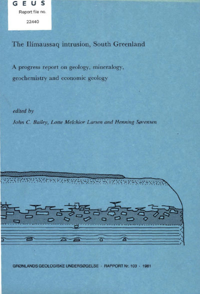
A geological section through the southern part of the Ilímaussaq intrusion
DOI:
https://doi.org/10.34194/rapggu.v103.7729Abstract
Detailed mapping af the southern part af the Ilimaussaq intrusion was initiated in 1968 with preparation af a map uf the kakortokite at a seale af approximately 1:10 000 (Bohse et al., 1971). Other small areas south af Tunugdliarfik have been mapped and described in detail (Demin, 1971; Demina, 1979; Steenfelt, 1981), and at present these results, together with additional mapping by S. Andersen and H. Bohse (Andersen & Bohse, 1978; Bohse & Andersen, 1981) of the area between Tunugdliarfik and Kangerdluarssuk-Lakseelv, are being compiled at a scale of 1:5000.
Downloads
Published
Issue
Section
License
This article is distributed under a CC-BY 4.0 licence, permitting free redistribution and reproduction for any purpose, even commercial, provided proper citation of the original work. Author(s) retain copyright over the article contents.


