
Vol. 3 (2007): Explanatory notes to the Geological Map of Greenland, 1:100 000, Ussuit 67 V.2 Nord
Jeroen A.M. van Gool & Mogens Marker
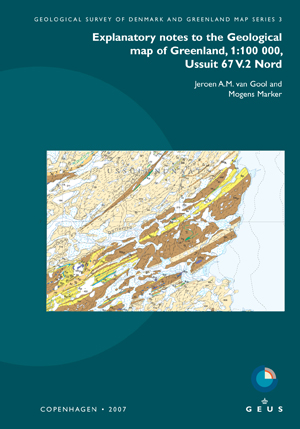
The Ussuit map area at the edge of the Inland Ice in central West Greenland displays reworked Archaean and Palaeoproterozoic rocks in the core of the c. 1850 Ma Nagssugtoqidian orogen. Also the brittle fault systems, predominantly of Mesozoic and Cenozoic ages, and Quaternary deposits are indicated.
In addition to a systematic description of the map units, these explanatory notes comprise accounts of the geoscientific research and of the Palaeoproterozoic geological evolution in this key area of the Nagssugtoqidian orogen. Previously unpublished geochronological data are presented in full in an appendix.
Aeromagnetic data, surface geochemical data and economic geology are presented in three separate sections. Several occurrences of iron sulphides with minor copper are known, and the area holds a potential for industrial minerals and dimension stones.
NOTE: This Map Description was published in a former series of GEUS Bulletin. Please use the original series name when citing this series.
