
Archives
-
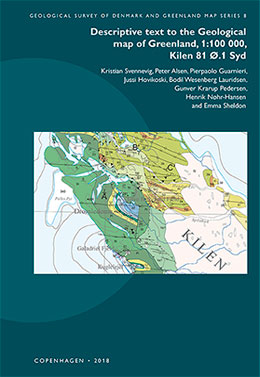
Descriptive text to the Geological map of Greenland, 1:100 000, Kilen 81 Ø.1 Syd
Vol. 8 (2018)Kristian Svennevig, Peter Alsen, Pierpaolo Guarnieri, Jussi Hovikoski, Bodil Wesenberg Lauridsen, Gunver Krarup Pedersen, Henrik Nøhr-Hansen and Emma Sheldon
The Kilen map area is located on Kronprins Christian Land, eastern North Greenland, where a thick succession of Carboniferous–Cretaceous sedimentary rocks of the Wandel Sea Basin is exposed. A substantial part of the map data was obtained by geological photogrammetry from helicopter using hand-held cameras combined with fieldwork focussing on the complex stratigraphy of the area.
This volume contains a systematic description of the geological background for the map and its units, followed by an outline of the Mesozoic and younger tectonic evolution of the area and discussion of a number of still unresolved geological questions. The tectonic evolution comprises late Cretaceous rifting, which divided the Kilen area into several NW–SE-striking fault blocks. This was followed by N–S-directed thrusting and folding of presumed Paleocene-Eocene age, whereby the Hondal Elv Thrust Sheet was emplaced above the Kilen Thrust Sheet.
The geology of the small areas outside Kilen is not well known due to their poor degree of exposure and remoteness.
Click on the article title below to see all files associated with this manuscript.
-
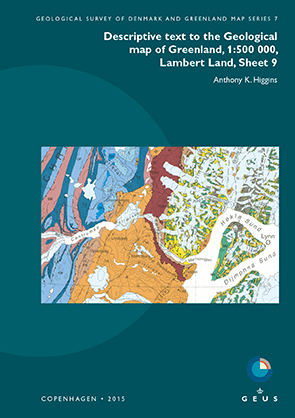
Descriptive text to the Geological map of Greenland, 1:500 000, Lambert Land, Sheet 9
Vol. 7 (2015)Anthony K Higgins
The Lambert Land map sheet, printed in 2000, displays the northern part of the East Greenland Caledonides, a series of W-directed thrust sheets displaced against the rocks of the Palaeo- to Mesoproterozoic foreland. The westernmost, parautochthonous Thin-skinned fold-and-thrust belt comprises several thrust sheets of Ordovician to Silurian carbonate rocks of the Iapetus passive margin. The overlying Vandredalen thrust sheet is dominated by the siliciclastic Neoproterozoic Rivieradal Group (R), with a spectacularly folded zone of carbonate rocks of the Hagen Fjord Group along its 200 km long western front. The next, Western thrust belt crops out in the mountainous terrain of Hovgaard Ø, Lynn Ø and adjacent to Ingolf Fjord. The uppermost Nørreland thrust sheet exposes crystalline rocks from the deepest crustal level and includes abundant eclogitic enclaves in the eastern, coastal region of the map area.
Post-Caledonian sedimentary rocks of the Wandel Sea Basin are exposed in the north-eastern part of the map area.
-
Kortbladsbeskrivelse til Geologisk kort over Danmark, 1:50 000, Sakskøbing 1411 I og 1412 II syd
Vol. 6 (2015)Stig A. Schack Pedersen, Leif Aabo Rasmussen og Johnny Fredericia
Written in Danish with a summary in English (p. 33)
Denne kortbladsbeskrivelse er den første af et kortblad i Danmark, og med dansk tekst, i Geological Survey of Denmark and Greenland Map Series. Kortområdet viser udbredelsen af de kvartære aflejringer, som domineres af moræneler fra Det Ungbaltiske isfremstød i den sene del af Weichsel. Aflejringerne er især synlige i de lave kystklinter på Lollands nordkyst samt på en række små øer i Smålandsfarvandet. Desuden findes lidt smeltevandssand og -grus ved Birket på Nordlolland. Postglaciale ferskvandsaflejringer findes i moser og søer, langs åer og i lavninger i terrænet, mens marine postglaciale aflejringer findes stedvis langs kysterne af både Lolland og de mange små øer. De underliggende kalklag fra Maastrichtien og Danien er vist på temakort og profiler.
Kortbladsbeskrivelsen giver en systematisk gennemgang af de kvartære aflejringers litostratigrafiske opbygning og deres sammensætning, alder og dannelse. Desuden omtales de prækvartære aflejringer i området med fokus på Maastrichtien og Danien lagene og deres tektoniske forhold. Gennemgangen er baseret både på kortlægningsdata, boringer og geofysiske data.
Landskabets glacialdynamiske udvikling gennem Sen Weichsel er præget af fremstødet fra nordøst (Hovedfremstødet) og Det Ungbaltiske isfremstød fra øst og sydøst med aflejring af moræneler og tilhørende smeltevandsaflejringer.
-
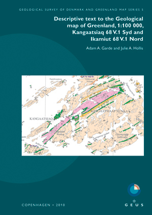
Descriptive text to the Geological map of Greenland, 1:100 000, Kangaatisiaq 68 V.1 Syd and Ikamiut 68 V.1 Nord
Vol. 5 (2010)Adam A. Garde and Julie A. Hollis
The two adjacent Ikamiut and Kangaatsiaq map areas in the Aasiaat region of central West Greenland expose a large part of the Mesoarchaean Aasiaat domain that was variably reworked during the Palaeoproterozoic Nagssugtoqidian orogeny.
This volume contains a systematic description of the Archaean and Palaeo-proterozoic map units, including remnants of a buried Palaeoproterozoic spreading ridge near Aasiaat and the likely arc-related Naternaq supracrustal belt with volcanic-hosted massive sulphide mineralisation. Cretaceous–Paleocene sandstone, sills and dykes, hydrothermally altered rocks and recent periglacial deposits are also present.
The lithological descriptions are followed by an outline of the two-stage Archaean crustal evolution and an account of the Palaeoproterozoic tectonic evolution supported by regional aeromagnetic data, as well as an interpretation of the Palaeoproterozoic plate-tectonic setting of the Aasiaat domain.
-
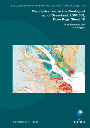
Descriptive text to Geological map of Greenland, 1:500 000, Dove Bugt, Sheet 10
Vol. 4 (2009)Niels Henriksen & A.K. Higgins
The Dove Bugt map sheet, printed in 1997, displays the central region of the Caledonian fold belt in North-East Greenland, and includes small areas of post-Caledonian sedimentary rocks and Palaeogene basalts exposed in the south-east corner of the map area. The rocks in the Caledonian orogenic belt are divided into several westwards-directed thrust sheets displaced against the foreland that occurs at the rim of the Inland Ice. The thrust sheets comprise units of composite pre-Caledonian and Caledonian origin, including Palaeoproterozoic gneisses, Mesoproterozoic supracrustal schists and gneisses, and in the south a succession of Neoproterozoic metasedimentary rocks of the Eleonore Bay Supergroup.
Since the map was compiled, geological mapping of adjacent regions in East Greenland has led to a new understanding of the general structure of the Caledonian orogen. The map sheet description has therefore been presented in a form which is in agreement with modern interpretations, with extensive reference to the newer literature.
Post-Caledonian sedimentary and igneous units comprise Carboniferous sandstones preserved in small down-faulted outcrops, Jurassic–Cretaceous sedimentary rocks outcropping in coastal regions, and Palaeogene basaltic flows and sills found in the south-eastern corner of the map area.
NOTE: This Map Description was published in a former series of GEUS Bulletin. Please use the original series name when citing this series.
-
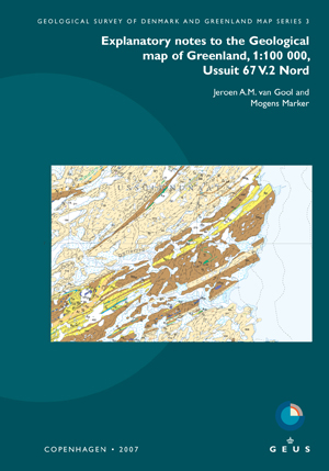
Explanatory notes to the Geological Map of Greenland, 1:100 000, Ussuit 67 V.2 Nord
Vol. 3 (2007)Jeroen A.M. van Gool & Mogens Marker
The Ussuit map area at the edge of the Inland Ice in central West Greenland displays reworked Archaean and Palaeoproterozoic rocks in the core of the c. 1850 Ma Nagssugtoqidian orogen. Also the brittle fault systems, predominantly of Mesozoic and Cenozoic ages, and Quaternary deposits are indicated.
In addition to a systematic description of the map units, these explanatory notes comprise accounts of the geoscientific research and of the Palaeoproterozoic geological evolution in this key area of the Nagssugtoqidian orogen. Previously unpublished geochronological data are presented in full in an appendix.
Aeromagnetic data, surface geochemical data and economic geology are presented in three separate sections. Several occurrences of iron sulphides with minor copper are known, and the area holds a potential for industrial minerals and dimension stones.
NOTE: This Map Description was published in a former series of GEUS Bulletin. Please use the original series name when citing this series.
-
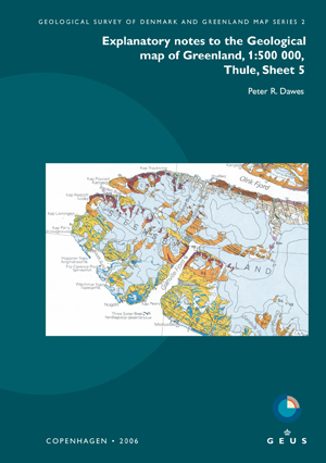
Explanatory notes to the Geological map of Greenland, 1:500 000, Thule, Sheet 5
Vol. 2 (2006)Peter R. Dawes
The Thule map sheet, printed in 1991, displays Precambrian rocks overlain by Quaternary deposits and expanses of ice. Two bedrock provinces are preserved: the Archaean-Palaeoproterozoic crystalline shield and the intracratonic, unmetamorphosed, Mesoproterozoic-?Neoproterozoic Thule Basin, both of which extend across Baffin Bay into Canada.
These explanatory notes systematically describe the map units. The notes are introduced by information on the physical environment and geoscientific research, with one section highlighting data obtained in the 15 years since the map sheet was printed. More than 200 papers are cited.
Four metallic commodities are shown on the map: magnetite in shield lithologies, iron sulphides and copper in Thule Basin strata, and ilmenite - derived from Neoproterozoic basic intrusions - in active and uplifted beaches. Other raw materials are reviewed, including agate and soapstone shown on the map.
-
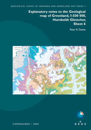
Explanatory notes to the Geological map of Greenland, 1:500 000, Humboldt Gletscher, Sheet 6
Vol. 1 (2004)Peter R. Dawes
The Humboldt Gletscher map sheet predominantly displays Precambrian, Palaeozoic and Quaternary units and expanses of ice. Minor clastic rocks and wood erratics are of Neogene age. Three bedrock provinces are preserved: the Palaeoproterozoic shield or Inglefield mobile belt, the Mesoproterozoic Thule Basin and the Lower Palaeozoic Franklinian Basin.
These explanatory notes are designed as an expanded map legend and introduced by sections on physical environment and geoscientific research with 150 papers cited. The notes are aimed at the practical user needing a key to more information rather than the specialist seeking detailed analysis.
Five mineral occurrence types are shown on the map: in shield lithologies, sulphide-graphite gossanous rust zones, massive magnetite and copper-gold mineralisation, and in Franklinian Basin strata, commercially drilled zinc-lead-silver and zinc-lead-barium mineralisations.
