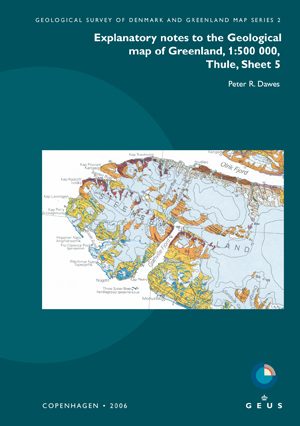
Vol. 2 (2006): Explanatory notes to the Geological map of Greenland, 1:500 000, Thule, Sheet 5

Peter R. Dawes
The Thule map sheet, printed in 1991, displays Precambrian rocks overlain by Quaternary deposits and expanses of ice. Two bedrock provinces are preserved: the Archaean-Palaeoproterozoic crystalline shield and the intracratonic, unmetamorphosed, Mesoproterozoic-?Neoproterozoic Thule Basin, both of which extend across Baffin Bay into Canada.
These explanatory notes systematically describe the map units. The notes are introduced by information on the physical environment and geoscientific research, with one section highlighting data obtained in the 15 years since the map sheet was printed. More than 200 papers are cited.
Four metallic commodities are shown on the map: magnetite in shield lithologies, iron sulphides and copper in Thule Basin strata, and ilmenite - derived from Neoproterozoic basic intrusions - in active and uplifted beaches. Other raw materials are reviewed, including agate and soapstone shown on the map.

