
Vol. 4 (2009): Descriptive text to Geological map of Greenland, 1:500 000, Dove Bugt, Sheet 10
Niels Henriksen & A.K. Higgins
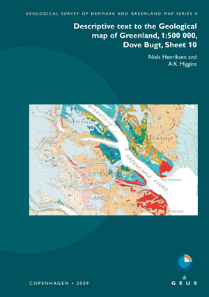
The Dove Bugt map sheet, printed in 1997, displays the central region of the Caledonian fold belt in North-East Greenland, and includes small areas of post-Caledonian sedimentary rocks and Palaeogene basalts exposed in the south-east corner of the map area. The rocks in the Caledonian orogenic belt are divided into several westwards-directed thrust sheets displaced against the foreland that occurs at the rim of the Inland Ice. The thrust sheets comprise units of composite pre-Caledonian and Caledonian origin, including Palaeoproterozoic gneisses, Mesoproterozoic supracrustal schists and gneisses, and in the south a succession of Neoproterozoic metasedimentary rocks of the Eleonore Bay Supergroup.
Since the map was compiled, geological mapping of adjacent regions in East Greenland has led to a new understanding of the general structure of the Caledonian orogen. The map sheet description has therefore been presented in a form which is in agreement with modern interpretations, with extensive reference to the newer literature.
Post-Caledonian sedimentary and igneous units comprise Carboniferous sandstones preserved in small down-faulted outcrops, Jurassic–Cretaceous sedimentary rocks outcropping in coastal regions, and Palaeogene basaltic flows and sills found in the south-eastern corner of the map area.
NOTE: This Map Description was published in a former series of GEUS Bulletin. Please use the original series name when citing this series.
