
Vol. 1 (2004): Explanatory notes to the Geological map of Greenland, 1:500 000, Humboldt Gletscher, Sheet 6
Peter R. Dawes
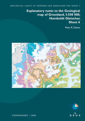
The Humboldt Gletscher map sheet predominantly displays Precambrian, Palaeozoic and Quaternary units and expanses of ice. Minor clastic rocks and wood erratics are of Neogene age. Three bedrock provinces are preserved: the Palaeoproterozoic shield or Inglefield mobile belt, the Mesoproterozoic Thule Basin and the Lower Palaeozoic Franklinian Basin.
These explanatory notes are designed as an expanded map legend and introduced by sections on physical environment and geoscientific research with 150 papers cited. The notes are aimed at the practical user needing a key to more information rather than the specialist seeking detailed analysis.
Five mineral occurrence types are shown on the map: in shield lithologies, sulphide-graphite gossanous rust zones, massive magnetite and copper-gold mineralisation, and in Franklinian Basin strata, commercially drilled zinc-lead-silver and zinc-lead-barium mineralisations.
