
Vol. 7 (2015): Descriptive text to the Geological map of Greenland, 1:500 000, Lambert Land, Sheet 9
Anthony K Higgins
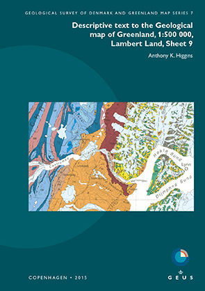
The Lambert Land map sheet, printed in 2000, displays the northern part of the East Greenland Caledonides, a series of W-directed thrust sheets displaced against the rocks of the Palaeo- to Mesoproterozoic foreland. The westernmost, parautochthonous Thin-skinned fold-and-thrust belt comprises several thrust sheets of Ordovician to Silurian carbonate rocks of the Iapetus passive margin. The overlying Vandredalen thrust sheet is dominated by the siliciclastic Neoproterozoic Rivieradal Group (R), with a spectacularly folded zone of carbonate rocks of the Hagen Fjord Group along its 200 km long western front. The next, Western thrust belt crops out in the mountainous terrain of Hovgaard Ø, Lynn Ø and adjacent to Ingolf Fjord. The uppermost Nørreland thrust sheet exposes crystalline rocks from the deepest crustal level and includes abundant eclogitic enclaves in the eastern, coastal region of the map area.
Post-Caledonian sedimentary rocks of the Wandel Sea Basin are exposed in the north-eastern part of the map area.
