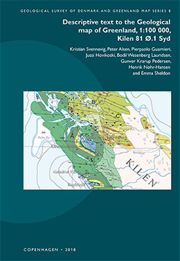
Vol. 8 (2018): Descriptive text to the Geological map of Greenland, 1:100 000, Kilen 81 Ø.1 Syd

Kristian Svennevig, Peter Alsen, Pierpaolo Guarnieri, Jussi Hovikoski, Bodil Wesenberg Lauridsen, Gunver Krarup Pedersen, Henrik Nøhr-Hansen and Emma Sheldon
The Kilen map area is located on Kronprins Christian Land, eastern North Greenland, where a thick succession of Carboniferous–Cretaceous sedimentary rocks of the Wandel Sea Basin is exposed. A substantial part of the map data was obtained by geological photogrammetry from helicopter using hand-held cameras combined with fieldwork focussing on the complex stratigraphy of the area.
This volume contains a systematic description of the geological background for the map and its units, followed by an outline of the Mesozoic and younger tectonic evolution of the area and discussion of a number of still unresolved geological questions. The tectonic evolution comprises late Cretaceous rifting, which divided the Kilen area into several NW–SE-striking fault blocks. This was followed by N–S-directed thrusting and folding of presumed Paleocene-Eocene age, whereby the Hondal Elv Thrust Sheet was emplaced above the Kilen Thrust Sheet.
The geology of the small areas outside Kilen is not well known due to their poor degree of exposure and remoteness.
Click on the article title below to see all files associated with this manuscript.

