Archives
-
Review of Greenland Activities 2001
Vol. 191 (2002)Edited by A.K. Higgins, Karsten Secher and Martin Sønderholm
The Review of Greenland activities summarises the main operations carried out in Greenland each year by the Geological Survey of Denmark and Greenland (GEUS). This volume contains 18 technical papers reflecting field projects undertaken in 2001, introduced by a directorial review. A list of the Survey's scientific publications on Greenland is also included.
The technical papers report onshore and offshore activities based on both ground and shipborne surveys and from widely spaced regions stretching from southern Greenland (60°N) to North-East and North-West Greenland (80°N). Topics include economic geology and regional mapping in the Archaean of the Disko Bugt - Nordre Strømfjord region, petroleum geological studies, marine geophysical data acquisition and interpretation, stratigraphy and sedimentology of Lower Palaeozoic to Quaternary successions, and climate change.
-
The Ilímaussaq alkaline complex, South Greenland: status of mineralogical research with new results
Vol. 190 (2001)Edited by Henning Sørensen
The alkaline complex of Illímaussaq in the Mesoproterozoic Gardar Proince of South Greenland is the type locality for peralkaline, silica-undersaturated agpaitic nepheline syenites and represents an enormous concentration of a number of rare elements, particularly Li, Be, Nb, Zr, REE, Y, U and Th. This explains the presence of about 220 minerals, 27 first described from there, and nine unique to the complex.
Modern investigations of the complex started in the late 1950s, and since 1965 scientific papers on the complex published in various scientific journals have been consecutively numbered under the title 'Contributions to the mineralogy of Illímaussaq'. By 1981 this had reached no. 63 with a progress report on the geology, mineralogy, geochemistry and economic geology of the complex following ten years of intensive field activity.
This bulletin, no 100 in 'Contributions to the mineralogy of Illímaussaq', presents results from the continuing laboratory investigations of material collected during the earlier field work and drilling programmes, together with discussions and reviews of some selected topics in the light of new developments in the study of agpaitic nepheline syenites and their minerals. -
Review of Greenland Activities 2000
Vol. 189 (2001)Edited by A. K. Higgins and Karsten Secher
The Review of Greenland activities is now a well-established way of communicating the main operations carried out each year in Greenland by the Geological Survey of Denmark and Greenland (GEUS). This volume, the fifth, contains 15 technical papers reflecting field projects undertaken in 2000, introduced by two reviews - The year in focus and the year's publications. The latter includes a listing of publications issued in the Survey's own series and those scientific and semi-popular papers written by its staff and coworkers released in international outlets.
The technical papers report onshore and offshore activities based on both ground and airborne surveys and from widely spaced regions stretching from southern Greenland (60°N) to the Arctic Ocean (84°N). Topics include multidisciplinary geology at the celebrated Skaergaard intrusion, stratigraphy and sedimentology of Proterozoic to Quaternary sections, economic geology with evaluation of commercial mineral and petroleum activities, and marine and airborne geophysical data acquisition. Several papers report on physiography, limnology and the impact of climatic change on the environment.
-
The structure of the Cretaceous-Palaeogene sedimentary-volcanic area of Svartenhuk Halvø, central West Greenland
Vol. 188 (2000)Jørgen Gutzon Larsen and T. Christopher R. Pulvertaft
Svartenhuk Halvø is a peninsula lying at the northern end of the West Greenland Palaeogene volcanic province. In the downfaulted south-western part of the peninsula upper Paleocene basalts overlie Cretaceous - lower Paleocene sediments, whereas to the north-east the basalts lie directly on Precambrian basement.
This bulletin describes the structural pattern in the basin area. This is dominated by NW-SE-trending extensional faults with downthrow to the north-east. Also trending NW-SE are faulted monoclinal flexure zones that were probably generated by reactivation of deep basement faults. Both the extensional fault arrays and the flexure zones are offset at approximately E-W-trending transfer faults. The regional extension is believed to be related to the opening of Baffin Bay during the late Paleocene – Eocene.
-
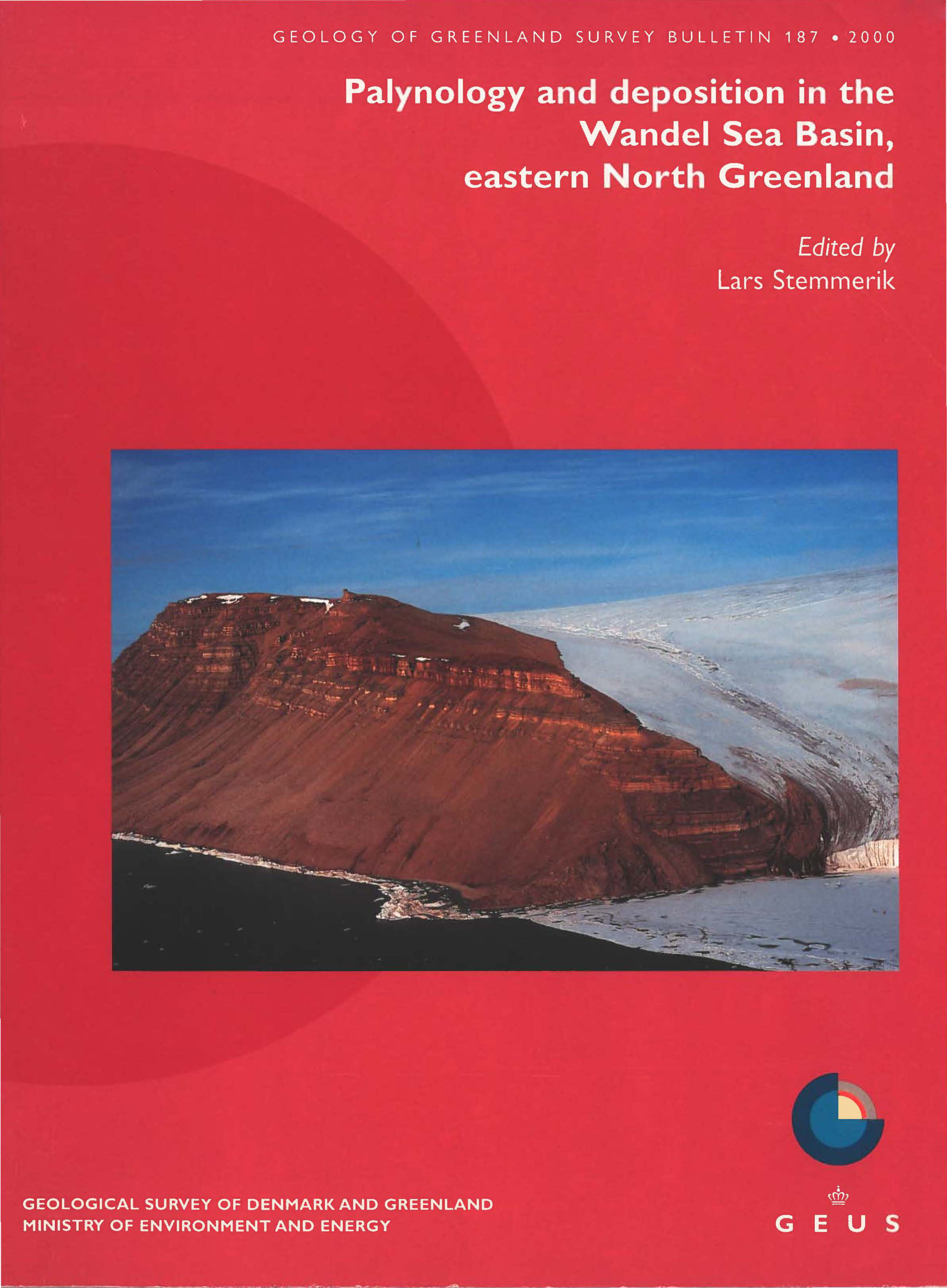
Palynology and deposition in the Wandel Sea Basin, eastern North Greenland
Vol. 187 (2000)Edited by Lars Stemmerik
The Wandel Sea Basin developed during the Late Palaeozoic to Palaeogene. Two main tectonic epochs of basin evolution are recognised: Late Palaeozoic to Early Triassic block faulting affected the entire basin whereas Mesozoic strike-slip movements affected only the northern part. This is reflected in different thermal histories and hydrocarbon potential.
This bulletin contains five articles based on field and palynological studies. The tectono-stratrigraphic history of the south-eastern part of the basin is discussed with implications for shelf areas; a refined, upper age constraint for the compressional tectonism is gained from a detailed study of the Palaeogene microflora. The Early Carboniferous age of the oldest sediments is based on a microflora comparable to that of western Europe whereas a Late Carboniferous algal flora shows affinities with the Sverdrup Basin flora of Arctic Canada.
-
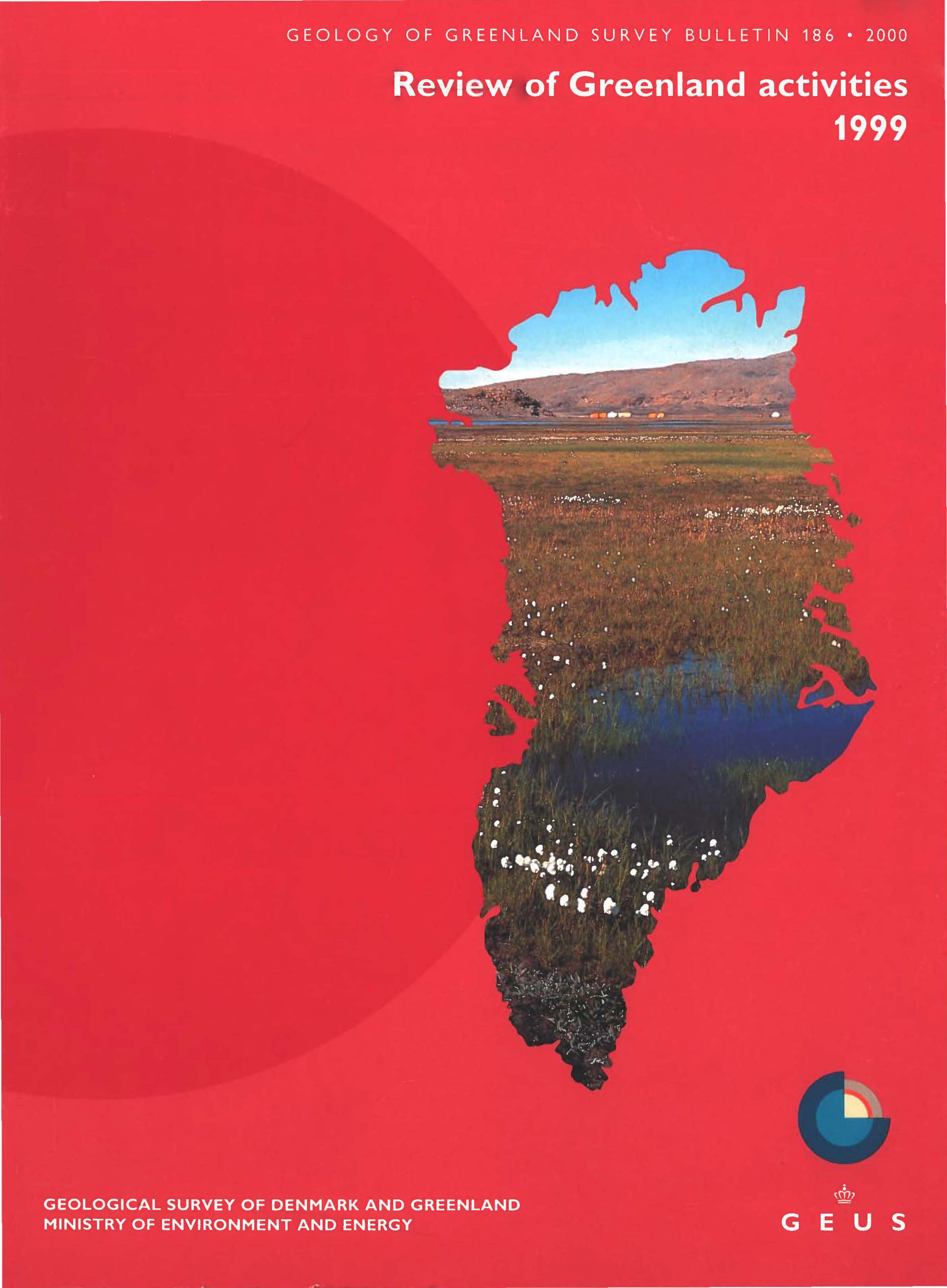
Review of Greenland Activities 1999
Vol. 186 (2000)Edited by Peter R. Dawes and A.K. Higgins
This Review of Greenland activities, the fourth issued by the Geological Survey of Denmark and Greenland (GEUS), contains 11 scientific articles, introduced by a directorial review for 1999 - The year in focus. A review of Greenland publications concludes the volume and this includes a 1999 listing of publications issued in the Survey-s own series and those scientific and semi-popular papers written by its staff and coworkers released in international outlets.
The scientific articles report on the main projects carried out in 1999. These were widely spaced and on all sides of Greenland stretching from 81ºN in the north to the southern tip at 60ºN. The topics touched on range from geological mapping and stratigraphic studies of Archaean to Quaternary rocks, economic assessments of mineral and petroleum deposits, as well as an airborne geophysical survey in West Greenland. Three papers report on field work dealing with the impact of climatic change on the environment.
-
Greenland from Archaean to Quaternary. Descriptive text to the Geological map of Greenland, 1:2 500 000
Vol. 185 (2000)Niels Henriksen, A.K. Higgins, Feiko Kalsbeek and T. Christopher R. Pulvertaft
Greenland's geological development spans a period of 4 Ga, from the earliest Archaean to the Quaternary. An overview of the geology was presented in 1995 on a Geological map of Greenland at a scale of 1:2 500 000.
This bulletin provides a description of the geology of Greenland. It is divided into onshore and offshore parts, and there are sections on the mineral deposits and the petroleum potential. It includes an extensive subject index, a place names register and a special legend explanation.
The main chapters comprise descriptions of the Greenland Precambrian shield with Archaean and Proterozoic crystalline complexes, Proterozoic and Palaeozoic sedimentary basins, Tertiary basalts and offshore sedimentary basins.
-
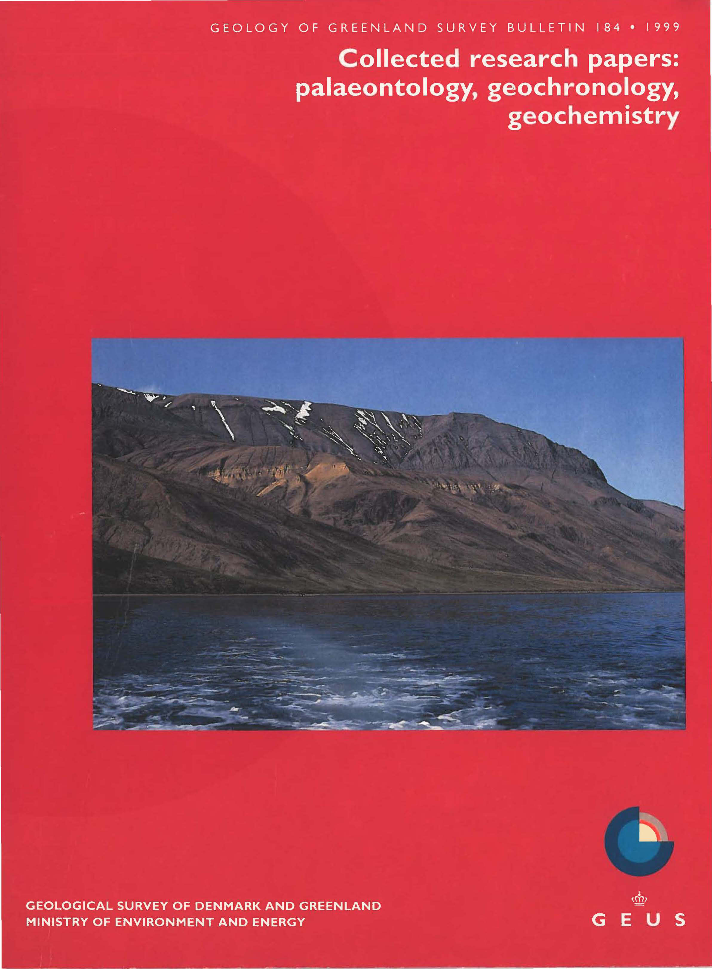
Collected research papers: palaeontology, geochronology, geochemistry
Vol. 184 (1999)Cover photo: Exposure of the Cretaceous-Palaeogene sedimentary and volcanic succession at Annertuneq on the north coast of Nuussuaq. Below the conglomerate are unnamed upper Campanian turbidite slope mudstones. They are unconformably succeeded by Maastrichtian-Paleocene submarine canyon conglomerates and turbidite slope mudstones of the Kangilia Formation. The Cretaceous-Paleocene boundary is placed at 452 m a.s.l. The succession is topped by hyaloclastites of the Vaigat Formation. The mountain is about 1.3 km high. (Credit: F.G. Christiansen)
Contents PalaeontologyThe myodocope ostracode Entomozoe from an early Silurian (Telychian, Llandovery) carbonate mound of the Samuelsen Høj Formation, North Greenland D.J. Siveter and P.D. Lane
Geochronology
The youngest Maastrichtian ammonite faunas from Nuussuaq, West Greenland. W.J. Kennedy, H. Nøhr-Hansen and G. Dam40Ar-39Ar dating of alkali basaltic dykes along the south-west coast of Greenland: Cretaceous and Tertiary igneous activity along the eastern margin of the Labrador Sea. L.M. Larsen, D.C. Rex, W.S. Watt and P.G. Guise
Geochemistry
Geochronology of granitic and supracrustal rocks from the northern part of the East Greenland Caledonides: ion microprobe U-Pb zircon ages. F. Kalsbeek, A.P. Nutman, J.C. Escher, J.D. Friderichsen, J.M. Hull, K.A. Jones and S.A.S. PedersenVariability of XRF and AAS analyses from the Rock Geochemical Laboratory of the Geological Survey of Denmark and Greenland. A. Steenfelt
Analytical procedures in the Rock Geochemical Laboratory of the Geological Survey of Denmark and Greenland. J. Kystol and L.M. Larsen -
Review of Greenland Activities 1998
Vol. 183 (1999)Edited by A. K. Higgins and W. Stuart Watt
This is the third volume of Review of Greenland activities. It follows the tradition of Report of activities of the former Geological Survey of Greenland that was issued for 30 years until 1996.
The bulletin contains eight articles, introduced by a directorial review for 1998 and followed by a list of publications in English on Greenland issued in the Survey's own series and those scientific papers written by its staff published in international outlets.
The articles report on the main Greenland projects carried out during 1998. A range of topics is touched on from geological and geophysical studies of the Archaean to the Quaternary and associated mineral and petroleum deposits. Several papers analyse the consequences of climatic change on the environment.
-
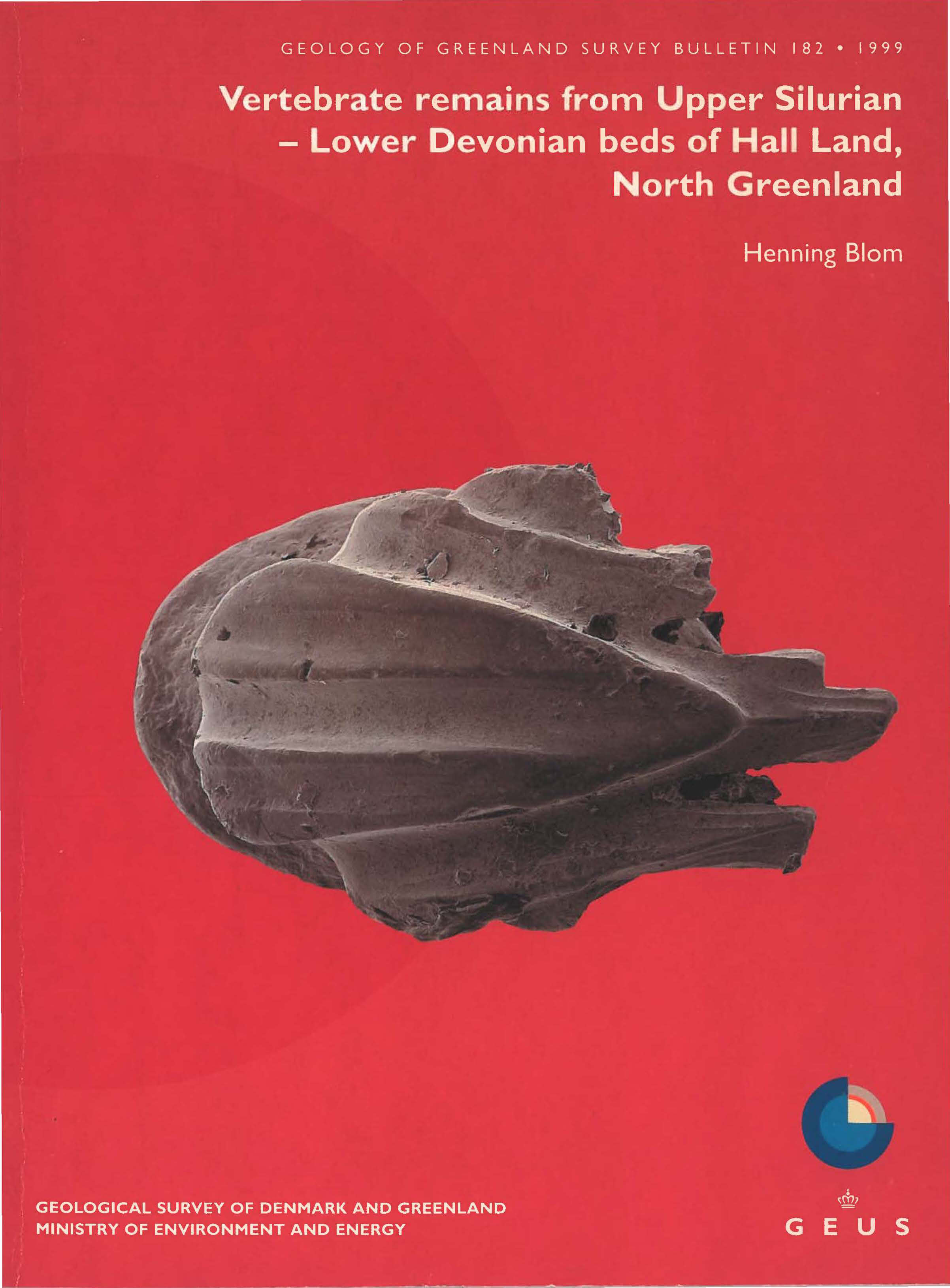
Vertebrate remains from Upper Silurian – Lower Devonian beds of Hall Land, North Greenland
Vol. 182 (1999)Cover photo: Transitional scale of Thulolepis striaspina gen. et sp. nov., a new small thelodont species from the lowermost Devonian of North Greenland. SEM photograph of the holotype, MGUH VP 3510, found in an acetic acid residue of GGU sample 319264. The sample is from a limestone bed in the Chester Bjerg Formation at the top of Monument, an inselberg-like hill in central Hall Land.
Henning Blom
The microscopic remains of Palaeozoic vertebrates, such as teeth, scales and small fragments of jaws. spines and bones, have been shown to be a good complement to the less abundant articulated fossil vertebrates. These 'microvertebrates' increase the knowledge of early vertebrate evolution and are also very useful for dating geological strata. This bulletin gives an extended description of small remains of jawless and jawed fish from the Upper Silurian and Lower Devonian of Hall Land, western North Greenland. The biostratigraphic utility of these remains provides data for discussion of the regional stratigraphy and global correlation.
-
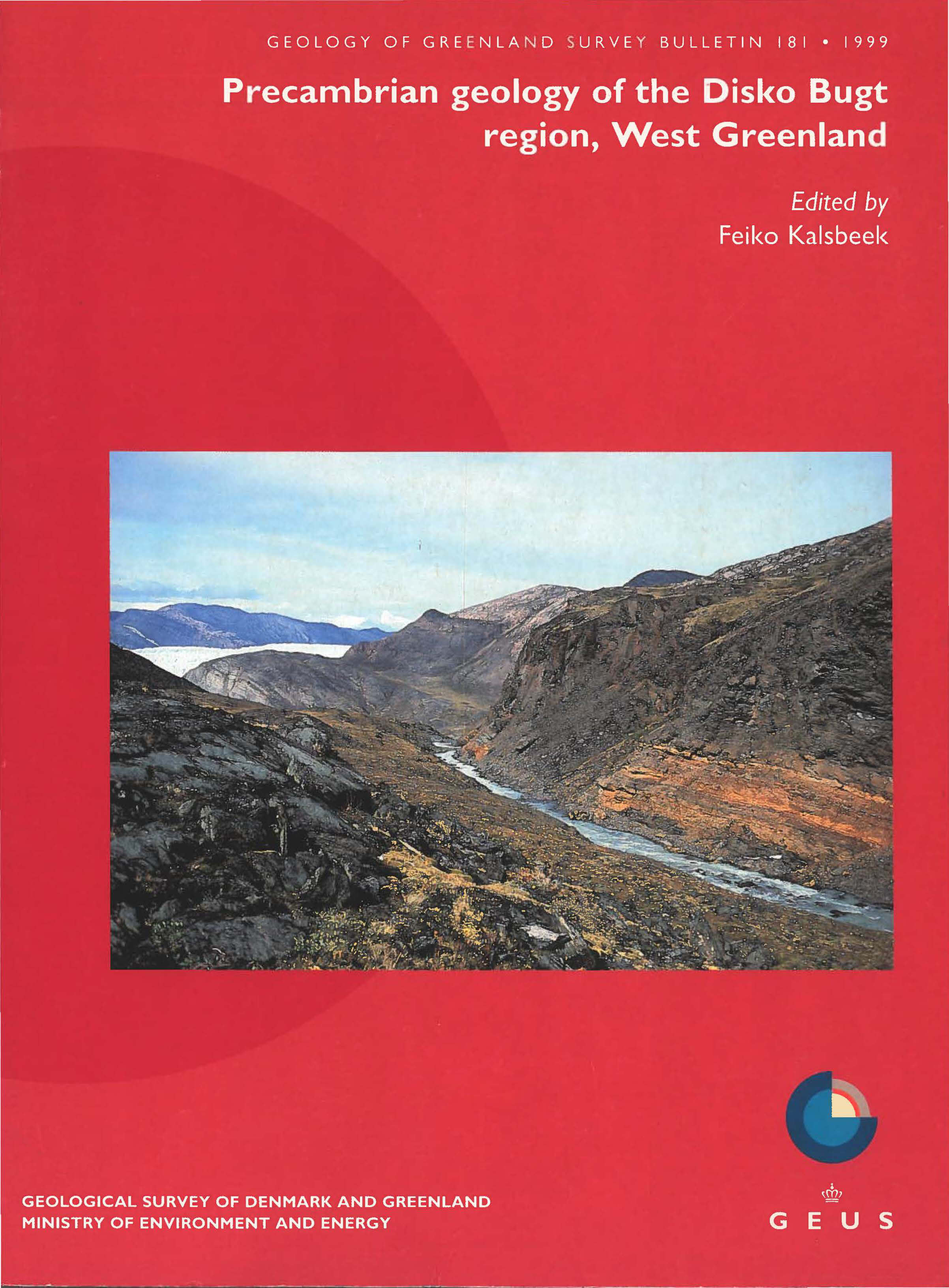
Precambrian geology of the Disko Bugt region, West Greenland
Vol. 181 (1999)Edited by Feiko Kalsbeek
The region north-east of Disko Bugt contains Archaean greenstone belts which were investigated by industry for mineral deposits in the 1970s and 1980s. In the period 1988–1992 the former Geological Survey of Greenland carried out more detailed field work in order to obtain a better geological understanding of the region. This bulletin contains 14 articles based on these field investigations and later laboratory research. An introductory paper gives a geological overview and a description of the accompanying geological map at 1:250 000. The following articles describe some of the rocks in more detail and treat economic, structural and chronological topics with the aim of presenting an up-to-date account of the Precambrian geology of the region.
-
Review of Greenland Activities 1997
Vol. 180 (1998)Edited by A. K. Higgins and W. Stuart Watt
This is the second volume of Review of Greenland activities. It follows the tradition of Report of activities of the former Geological Survey of Greenland that was issued for 30 years until 1996.
The bulletin contains 24 articles, introduced by the Director-s review for 1997, followed by a list of publications on Greenland issued in the Survey's own series and those scientific papers written by its staff published in international outlets.
The articles report on onshore and offshore field work and on the main Greenland projects carried out during 1997. Several current research reviews are also included. A wide range of topics is touched on from geological and geophysical data on early Archaean to Quaternary rocks, to offshore geophysics and oceanography, with several papers dealing with petroleum and mineral exploration.
-
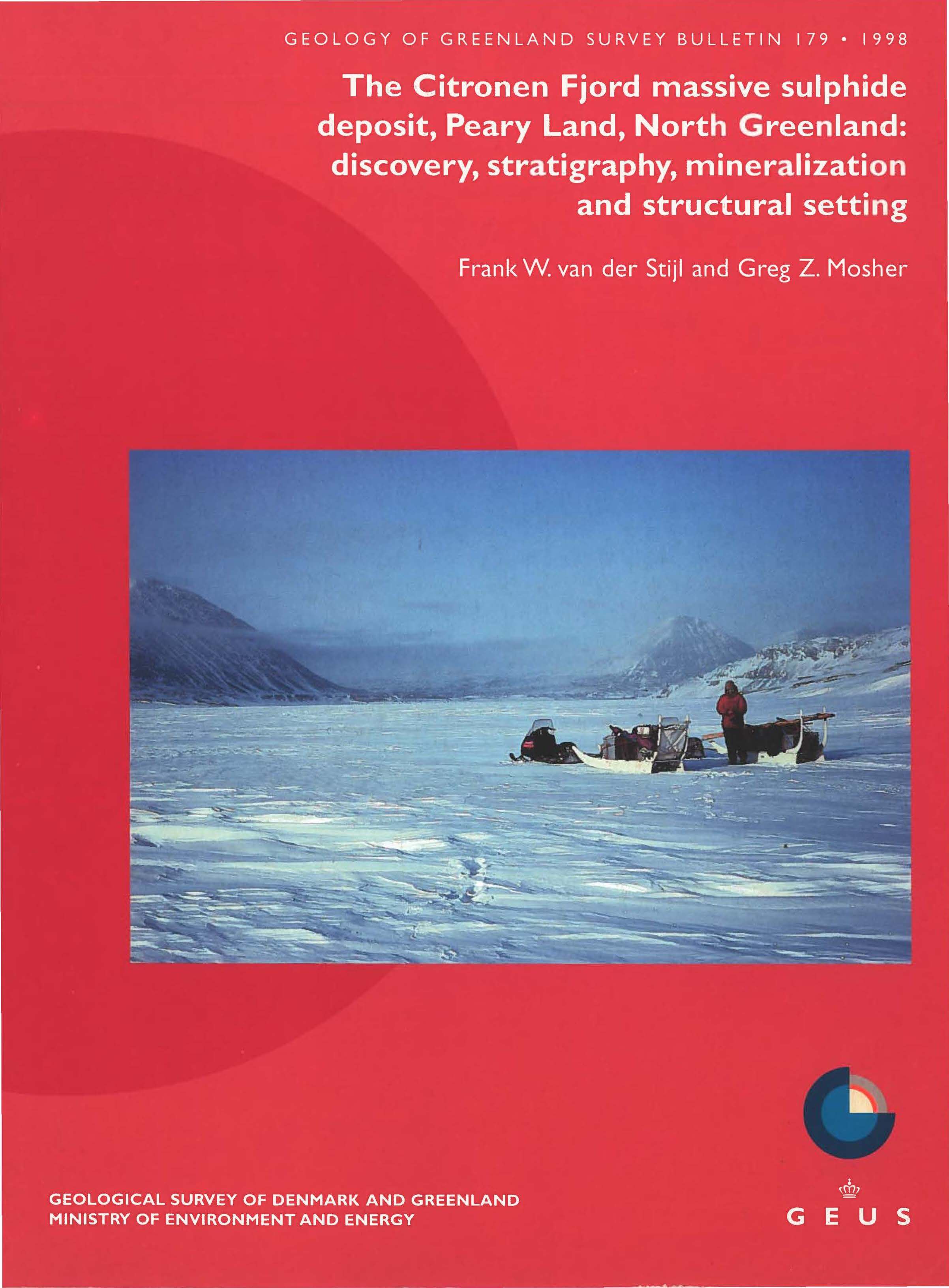
The Citronen Fjord massive sulphide deposit, Peary Land, North Greenland: discovery, stratigraphy, mineralization and structural setting
Vol. 179 (1998)Frank W. van der Stijl and Greg Z. MosherCover photo: Low cloud and mist shroud the land on the eve of the discovery of the Citronen Fjord massive sulphide deposit in May 1993. The deposit was found during regional reconnaissance using Iow-cost logistics, viz. a skidoo-sledge expedition using the fjord ice. Primary targets were the reported gossans and sulphide showings in the Lower Palaeozoic sediments at Citronen Fjord. The scene shows the company Platinova?s arrival at the mouth of Citronen Fjord, looking south into the fjord with low-lying marine terraces visible at its head. Massive sulphides were encountered on the first-day of exploration in the low cloud-covered hills of the Discovery area (left background). The height of the mountain on the right is about 850 m. Photo: Stefan Bernstein, 17th May, 1993.
The Citronen Fjord massive sulphide deposit is the world's most northerly known base metal deposit. It is of sedimentary-exhalative type hosted in an Ordovician-Silurian starved basin sequence punctuated by carbonate debris flows derived from the nearby carbonate platform margin. The bulletin provides the first comprehensive account of the deposit from discovery in 1993 to its known characteristics after a 5-year drilling programme. A new map and cross-sections illustrate the geology; ore genesis is discussed in relationship to regional stratigraphy and structure. The discovery is an example of successful exploration strategy in the High Arctic based on evaluation of a major sedimentary basin (Franklinian Basin), sporadic gossans and sulphide showings, and low-cost logistics.
-
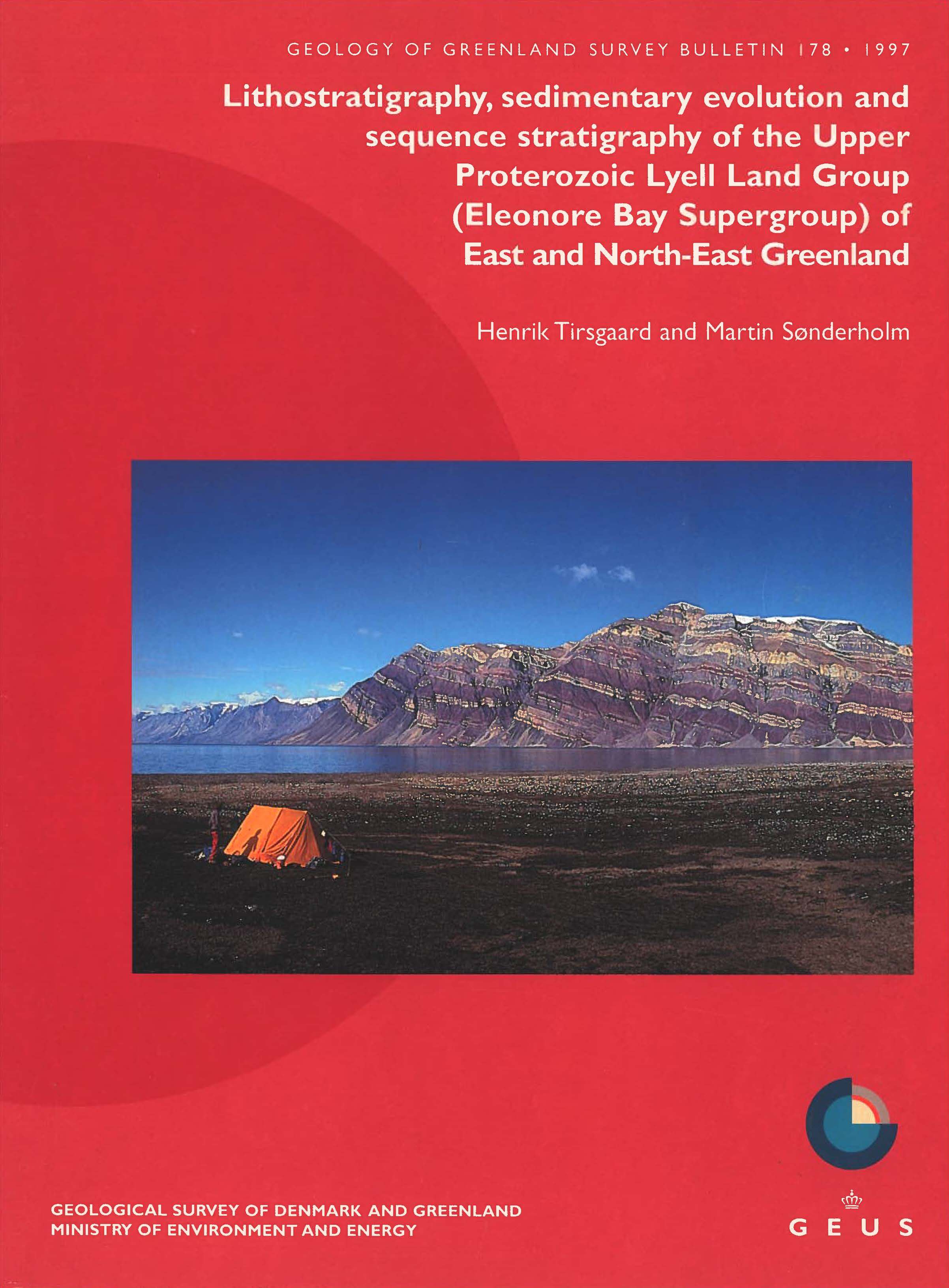
Lithostratigraphy, sedimentary evolution and sequence stratigraphy of the Upper Proterozoic Lyell Land Group (Eleonore Bay Supergroup) of East and North-East Greenland
Vol. 178 (1997)Henrik Tirsgaard and Martin Sønderholm
Cover photo: View of the Lyell Land Group on the southern shores of Lyell Land and the snow-capped Berzelius Bjerg seen from Scoresby Land. The basal formation of the Lyell Land Group (Kempe Fjord Formation) is not exposed, and most of the overlying Sandertop Formation is covered by scree to the left (west). The rest of the group is well exposed and shows the pale weathering Berzelius Bjerg Formation, followed by the grey to brownish red weathering Kap Alfred Formation. The Vibeke Sø Formation forms a conspicuous pale unit in the centre of the picture and is overlain by the reddish Skjoldungebræ Formation. The top of the group is formed by the yellowish weathering Teufelsschloss Formation. The Lyell Land Group is overlain by grey, red and pale weathering mainly carbonate rocks of the Ymer Ø and Andrée Land Groups. Mountain summit is approximately 1900 m.
-
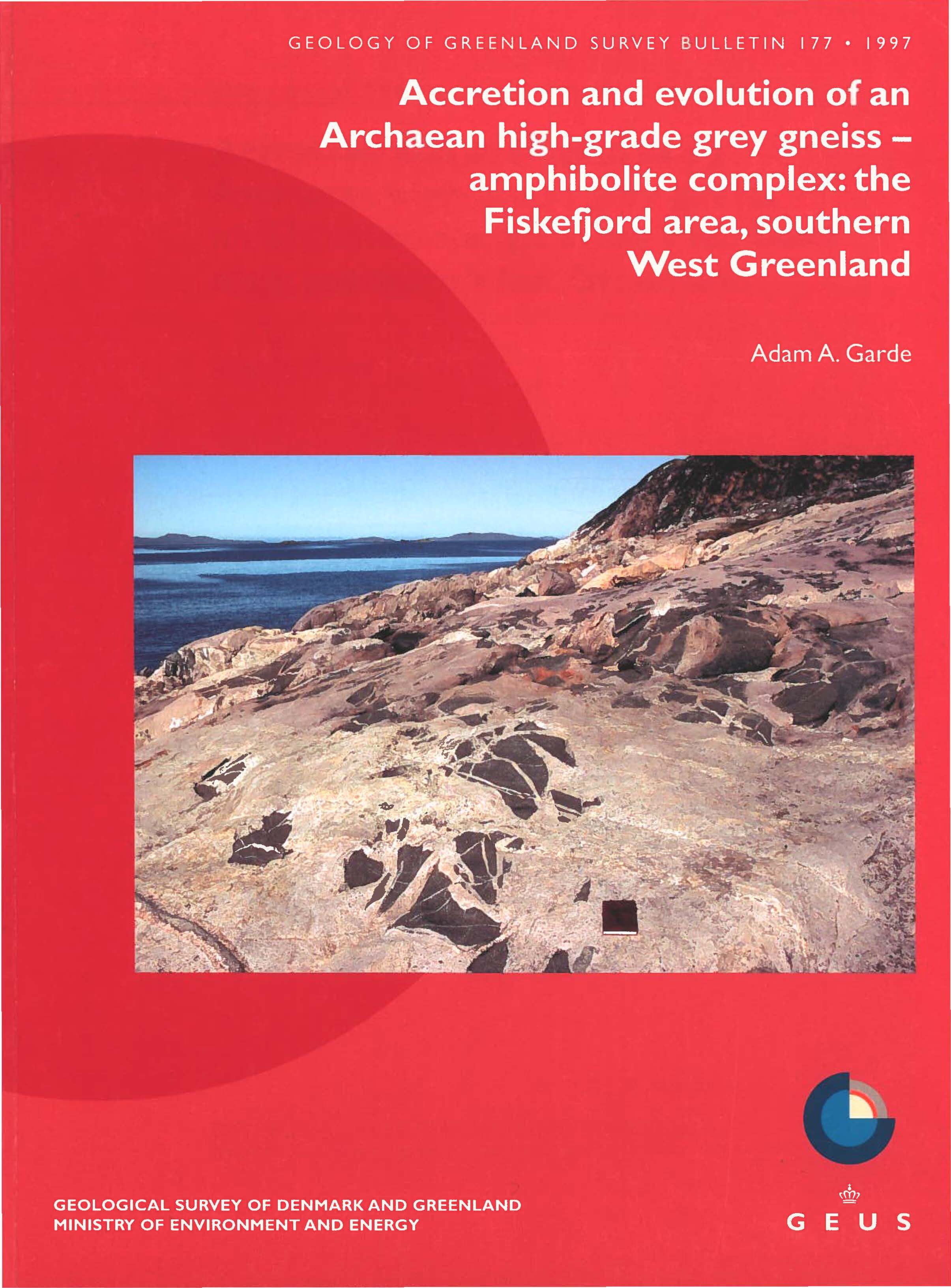
Accretion and evolution of an Archaean high-grade grey gneiss – amphibolite complex: the Fiskefjord area, southern West Greenland
Vol. 177 (1997)Adam A. Garde
Cover photo: Coastal exposure of purplish grey orthogneiss retrogressed from granulite facies, with angular fragments of homogeneous amphibolite. The purplish grey orthogneiss displays indistinct foliation and migmatisation fabrics, which have been blurred during recrystallisation under granulite facies P-T conditions and subsequent static hydrous retrogression in amphibolite facies. Outer coast north of Fiskefjord, point west of Pâtôq. The island Talerulik is visible in the far distance.
-
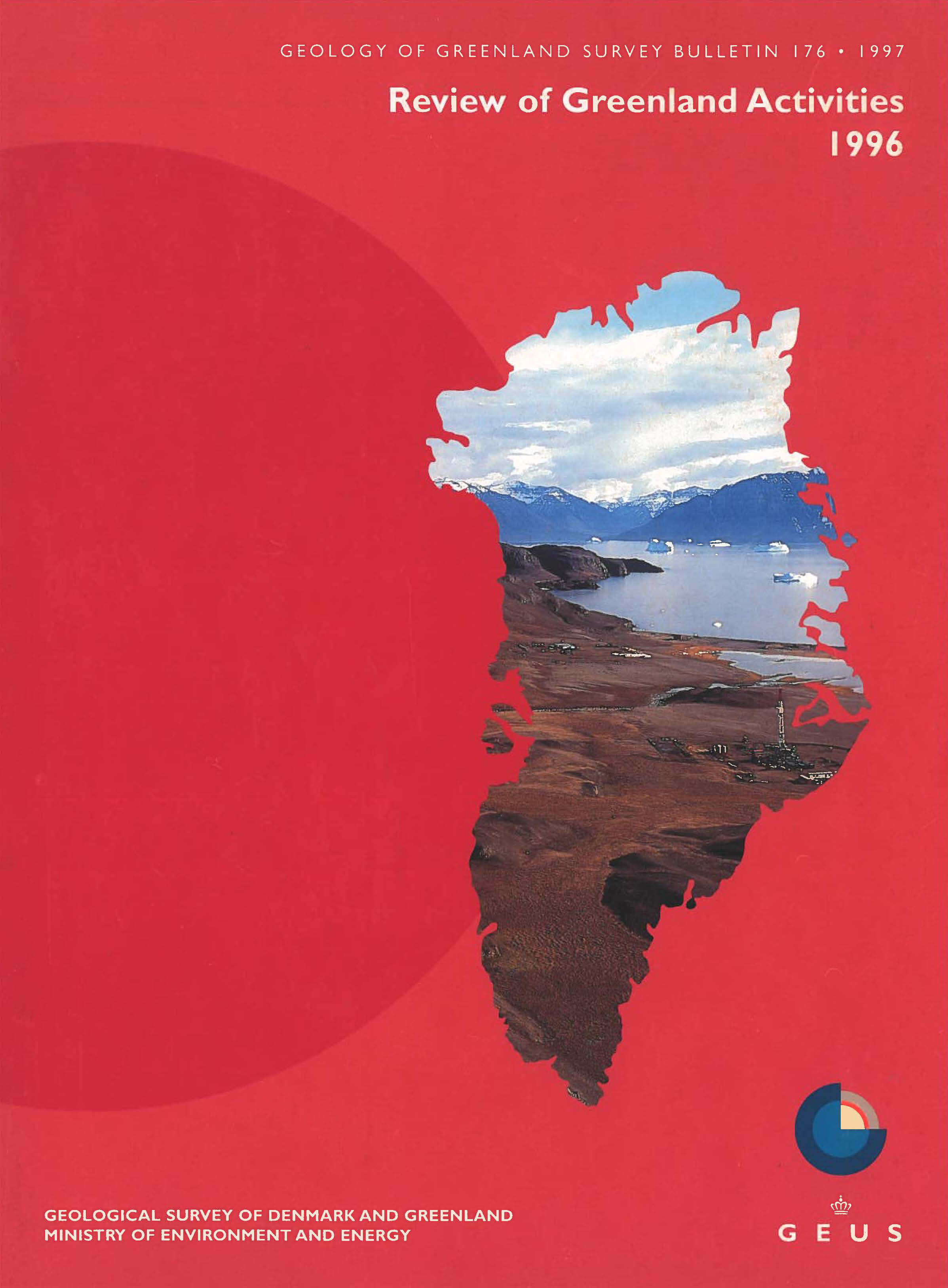
Review of Greenland activities 1996
Vol. 176 (1997)Edited by: A.K.Higgins and Jon R. Ineson
This is the first volume of Review of Greenland Activities. It reports on field work and the main Greenland projects carried out during 1996, as well as presenting other Greenland-related topics. It follows on the tradition of the former Geological Survey of Greenland's annual Report of Activities, that was issued between 1966 and 1996.
-
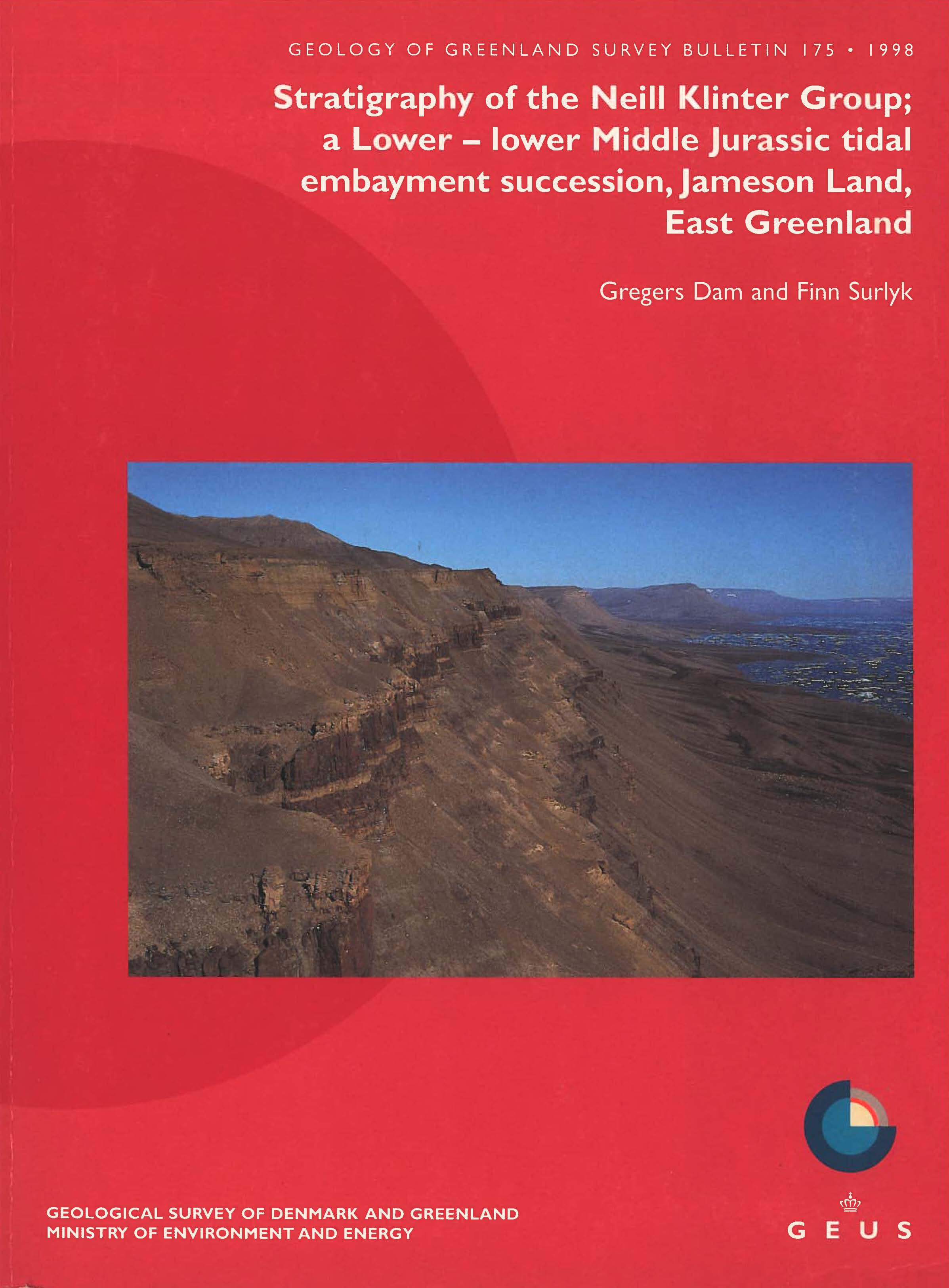
Stratigraphy of the Neill Klinter Group; a Lower – lower Middle Jurassic tidal embayment succession, Jameson Land, East Greenland
Vol. 175 (1998)Cover photo: Exposure of the Neill Klinter Group in the type area along Hurry Inlet in the south-eastern part of Jameson Land. Sandstones and mudstones of the Neill Klinter Group overlie the scree-covered Kap Stewart Group. Fine-grained units in the Neill Klinter Group are intruded by Tertiary sills. The view is from Astartekløft towards the north. The airport at Constable Pynt is seen on the second delta. Exposed section c. 200 m thick.
Gregers Dam and Finn Surlyk
-
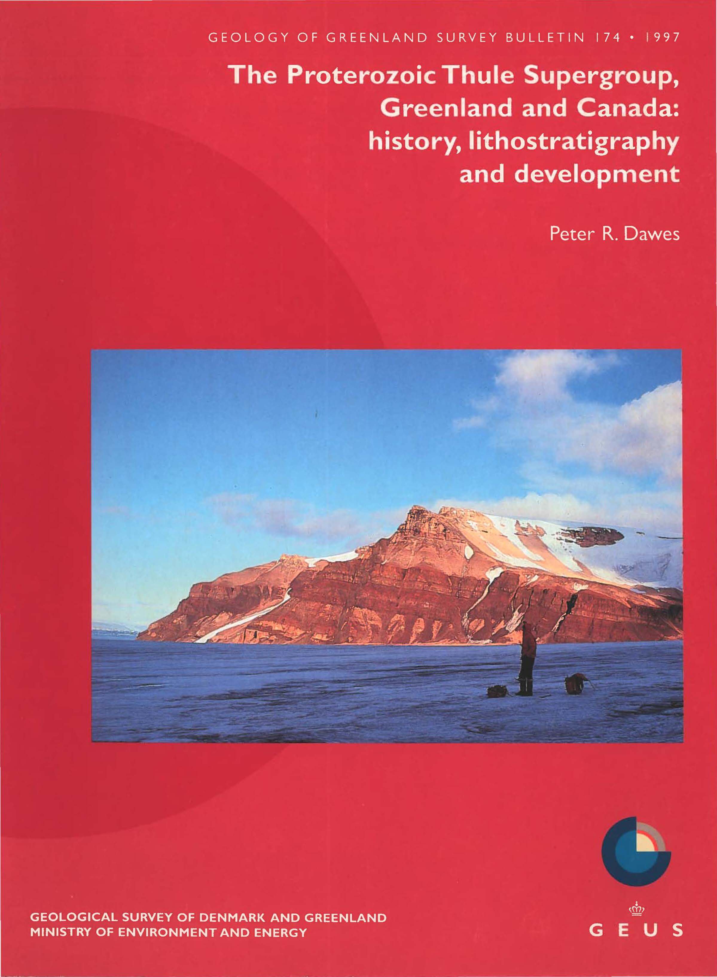
The Proterozoic Thule Supergroup, Greenland and Canada: history, lithostratigraphy and development
Vol. 174 (1997)Cover photo: The middle Proterozoic (Neohelikian) Nares Strait Group on the east side of Kissel Gletscher, Northumberland Ø, Greenland. The succession is dominated by shallow water siliciclastic strata with one main basaltic interval containing effusive, hypabyssal and pyroclastic rocks (Cape Combermere Formation, in centre). This succession represents the early fill of the central part of the Thule Basin. The initial recognition that the central basin straddled Nares Strait was based on the correlation of this succession with that at Clarence Head on the south-eastern coast of Ellesmere Island, Canada. The highest ice-capped summit is just below 1000 m a.s.l.; the sea is visible to the left.
Peter R. Dawes
-
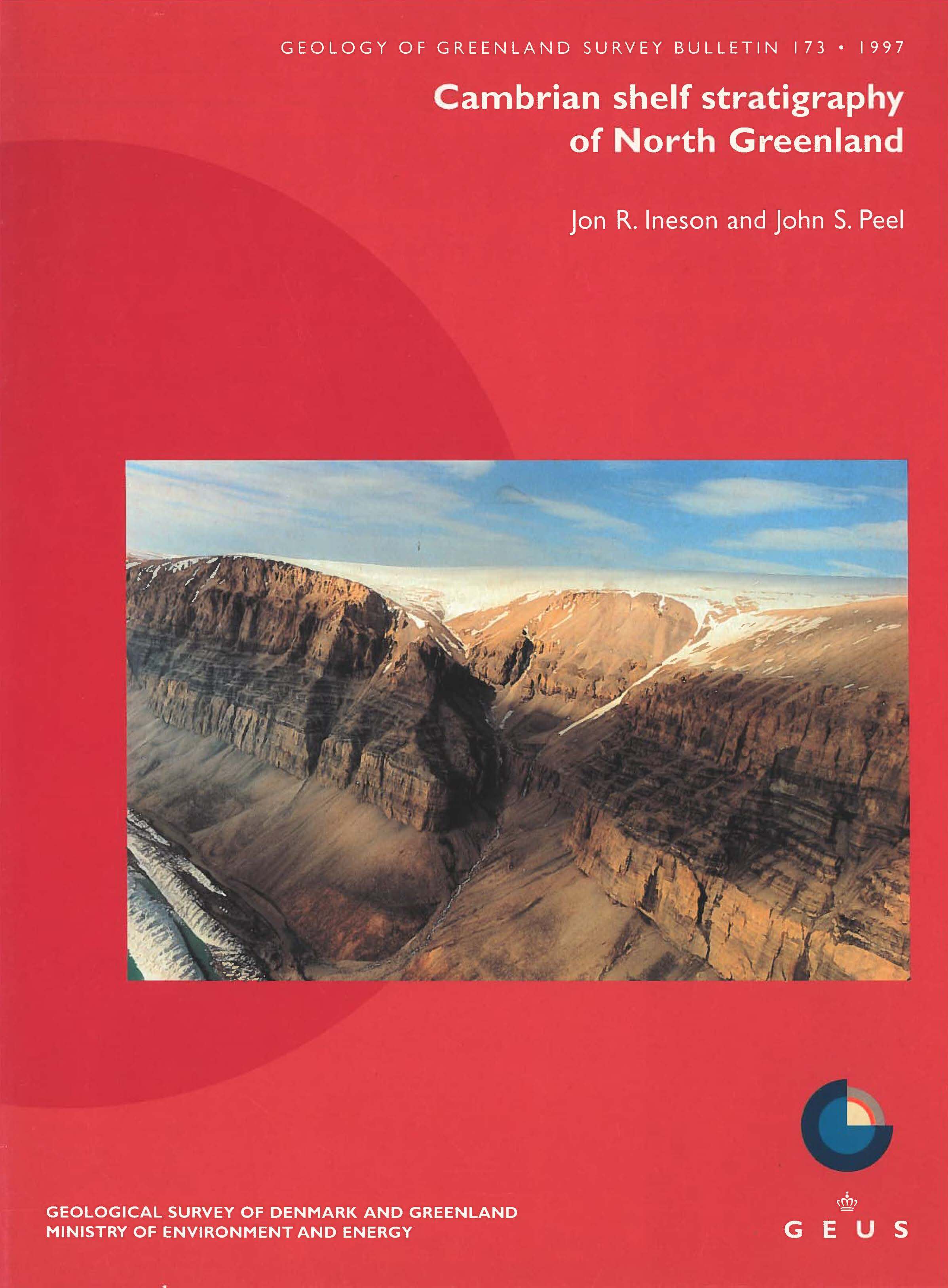
Cambrian shelf stratigraphy of North Greenland
Vol. 173 (1997)Cover photo: Lower - Middle Cambrian strata near the head of Nordenskiöld Ford, north of Jungersen Gletscher, Freuchen Land. Reddish sandstones and succeeding scree-covered mudstones of the Buen Formation (at glacier level ) are conformably overlain by proximal slope-outer shelf carbonates and siliciclastics of the Brønlund Fjord Group. This area has proved critical in the correlation from Cambrian platform interior and platform margin strata to the equivalent slope and outer shelf carbonates and siliciclastics. Exposed Brønlund Fjord Group section is c. 300 m thick. (Credit: Jakob Lautrup)
Jon R. Ineson and John S. Peel

